Behind the Film: 5K Aerial Photography, Water Use, and What to Watch Next
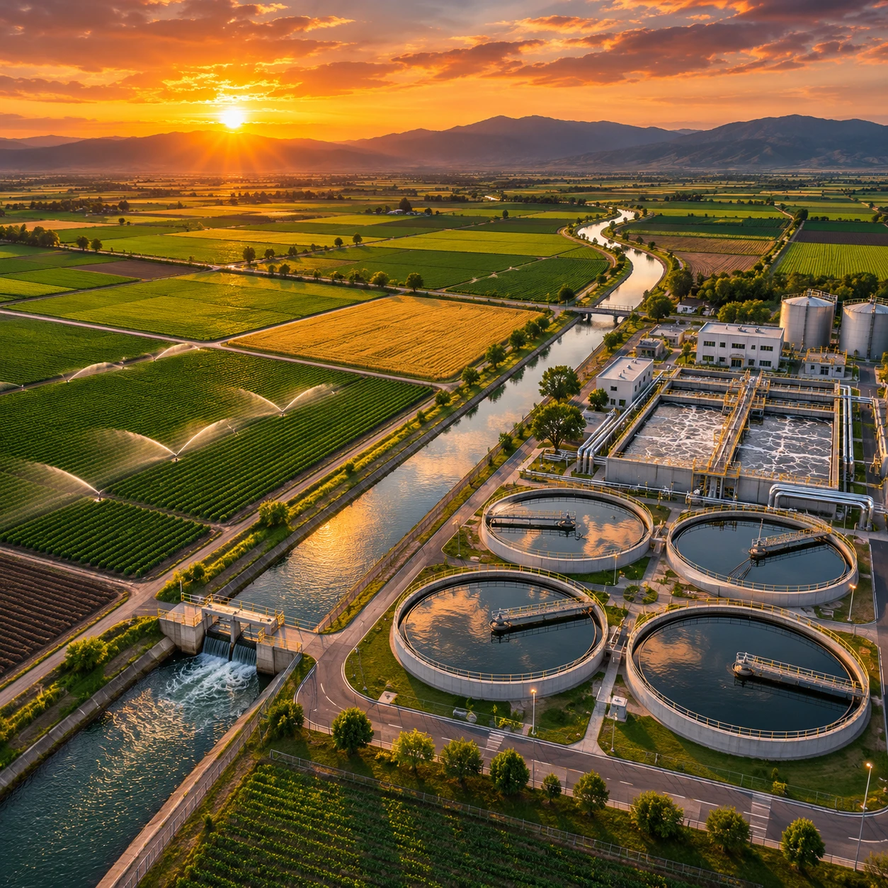
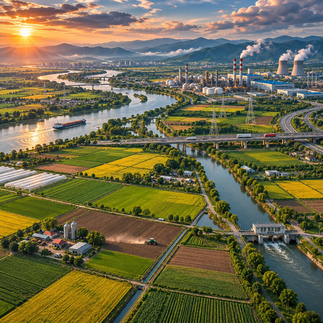
Aerial footage can make water systems visible at a scale that is hard to grasp from the ground. In a film about agriculture and industry, 5K drone imagery gives viewers a detailed view of fields, canals, reservoirs, and factory infrastructure while showing how these parts fit into a larger landscape.
Resolution alone cannot explain where water comes from or how much is used. The strongest visual storytelling pairs aerial cinematography with sound research, on-the-ground reporting, and clear explanations of what the images can and cannot prove.
Why 5K Aerial Footage Matters
5K aerial footage captures enough image detail to show landscape patterns and water infrastructure in context. The aerial perspective can reveal how fields, waterways, reservoirs, and industrial sites connect across a region, while extra resolution gives editors room to crop or reframe a shot.
“5K” refers to an image with roughly 5,000 pixels across its width; the exact dimensions depend on the camera’s recording format. Compared with standard 4K, a 5K image can provide more flexibility for reframing on a 4K timeline. That is useful when a drone passes a field or treatment plant and the editor wants to draw attention to a smaller feature without immediately losing as much detail.
Resolution is only one part of image quality. Sensor size, lens sharpness, exposure, compression, focus, and movement all matter. A well-composed 4K shot can look more cinematic than a poorly exposed, unstable 5K clip. Higher-resolution files also take more storage and processing power, so crews need to plan their media workflow.
For environmental research, aerial images can help document visible features such as field boundaries, irrigation patterns, and changing water levels. They are useful evidence of what was visible at a particular time, but they do not independently establish water consumption, crop health, or cause. Those questions require measurements and context.
From Drone to Screen: Making the Aerial Sequences
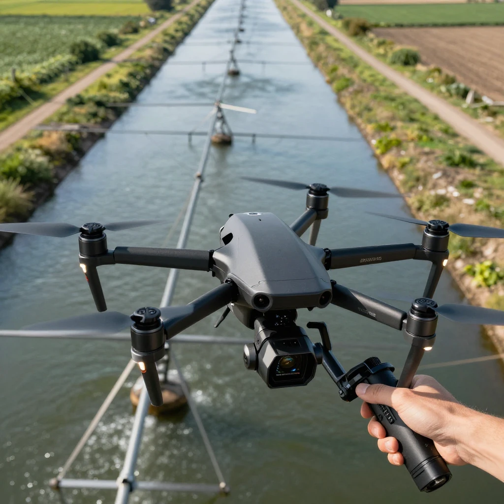
A 5K aerial sequence moves from a planned shot to a stable, color-managed edit. Crews choose the location and flight path, capture footage with a suitable camera and lens, then review, stabilize, color-grade, and export the selected shots.
From script to sky
Shot planning starts with a story question: should viewers understand the scale of an irrigation network, follow a canal, or compare farmland with a nearby industrial site? The answer shapes flight height, direction, timing, and framing. A slow, straight pass may clarify geometry; a rising reveal can establish how a facility sits within its watershed.
Drone pilots must also account for weather, light, airspace rules, people, wildlife, and site permissions. Low sun can bring out texture in fields and water, but glare may obscure surface detail. A wide lens shows more landscape, while a longer focal length can compress distance and isolate features. Neither choice is universally better.
Stabilization and post-production
Drone cameras commonly combine a three-axis gimbal with electronic image stabilization. The gimbal counters aircraft movement mechanically; software stabilization can smooth small residual shakes, though aggressive processing may crop the frame or create warped edges. Smooth flight remains the first line of defense.
After ingest and backup, editors review footage, select takes, and build a sequence. Post-production may include stabilization, lens correction, noise reduction, and color grading to keep shots consistent. HDR delivery can preserve a broader range of highlights and shadows when the camera, master, display, and platform all support a compatible HDR format. Otherwise, a carefully balanced standard dynamic-range grade may be more dependable.
What the Camera Reveals About Water in Agriculture
Aerial views show how irrigation is laid out and where water appears to travel, but they cannot measure farm water use by themselves. They help viewers see distribution patterns and possible inefficiencies, which can then be investigated with field data, sensors, or satellite analysis.
Different irrigation systems leave different visual signatures. Drip irrigation delivers water near plant roots through tubing or emitters; it can reduce evaporation and runoff when properly designed, but requires maintenance and can clog. Flood irrigation moves water across a field surface. It can suit particular soils and crops, yet uneven terrain or poor scheduling may increase losses. Sprinkler systems distribute water overhead, with performance affected by wind, pressure, and evaporation.
A drone pass may reveal dry patches, ponding, leaking channels, or uneven crop growth. Those patterns are clues, not diagnoses. Soil type, crop stage, recent rain, drainage, and camera conditions can produce similar visual effects. A reliable assessment combines imagery with flow meters, soil-moisture readings, weather records, and farm observations.
Precision agriculture uses those data sources to guide decisions such as when and where to irrigate. In drought-prone areas, practical strategies can include repairing leaks, scheduling irrigation around crop needs, improving soil cover, and choosing systems suited to local conditions. Water-saving methods have costs: drip lines and monitoring equipment require investment, upkeep, and technical support.
Water in Industry: Use, Treatment, and Reuse
Manufacturing relies on water for processes such as cooling, cleaning, processing, and producing steam. Responsible industrial water management tracks where water enters a site, how it is used, and what treatment is needed before discharge or reuse.
Water requirements vary widely by sector and facility. Food processing may use water to wash ingredients, sanitize equipment, or move products through a process. Other plants use water for heat transfer or cleaning. The quality required also varies: water suitable for one operation may need additional filtration or treatment for another.
Industrial water treatment can include screening, settling, biological treatment, filtration, and disinfection, depending on the source water and intended reuse. Recycling treated process water can reduce freshwater demand, but it is not a universal substitute. Reuse may require extra treatment, monitoring, storage, and energy; some contaminants or process needs limit how far water can be circulated.
Facilities can begin by mapping water flows and identifying major uses, leaks, and discharge points. A water balance helps compare intake with use, reuse, and losses. Aerial footage can show the site layout and nearby waterways, while permits, meters, and treatment records explain what the images cannot. This pairing makes the industrial water footprint more understandable without implying that a dramatic shot is a measurement.
Where to Stream the Film
Streaming availability depends on the film’s title, country, and current distribution rights. No verified title or platform details are provided here, so check the film’s official website, distributor, or a reputable regional streaming guide before publishing or choosing where to watch.
Search by the film’s exact title and confirm that the listing matches the correct production. Catalogs can differ by country and change over time. A platform may offer a rental, purchase, subscription stream, or only a trailer, so verify the viewing format and current availability on the service itself.
For high-resolution playback, check the stream’s stated resolution and your internet connection, display, and player settings. A 5K production may be delivered in 4K or another format; the original capture resolution does not guarantee a 5K stream. Physical media can offer a stable, high-quality presentation where available, while streaming is convenient but depends on bandwidth, device support, and platform encoding.
What to Read or Watch Next
Explore the subject from three angles: water resources, agricultural systems, and the craft of aerial filmmaking. Choose books and documentaries that distinguish measured evidence from visual storytelling, and verify each title’s current edition or availability before recommending it.
- Water and industry: Look for publications from government water agencies and university programs on industrial water use, treatment, reuse, and watershed management. These sources can explain measurement methods and local regulations.
- Agriculture and irrigation: Seek practical guides from agricultural extension services on drip, sprinkler, and surface irrigation, as well as drought planning and soil-moisture management.
- Documentaries: Choose films about farming, water scarcity, food production, and watersheds that identify their sources and explain the limits of their evidence. Aerial sequences are especially revealing when paired with interviews and field reporting.
- Aerial filmmaking: Read camera and cinematography resources covering drone flight planning, lenses, gimbals, exposure, stabilization, and color grading. Focus on safe, lawful operation as well as image quality.
For research grounded in public data, the U.S. Geological Survey offers information on water resources and monitoring. Its material can help viewers connect what they see in an aerial sequence with the measurements and context needed to understand water systems.